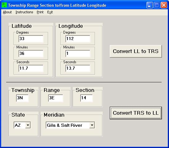
TRS is written in Visual Basic and allows the Windows user to have a familiar interface to the program. All input and output can be selected by the mouse and keyboard. Using the TAB key will move logically through the form to the next input box or control. No provision is made for file input or output. Users can currently cut and paste into the form, like normal Windows programs.
If you need to find the latitude and longitude for large numbers of TRS points, see the program TRSfile website.
Townships need to always be input as the number right next to the N or S (ex:3N). Ranges need to always be input as the number right next to the E or W (ex: 3E). Townships or ranges that are 1/2 values should be input as decimals (ex: 12.5N).
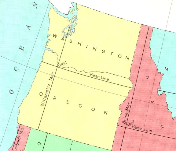
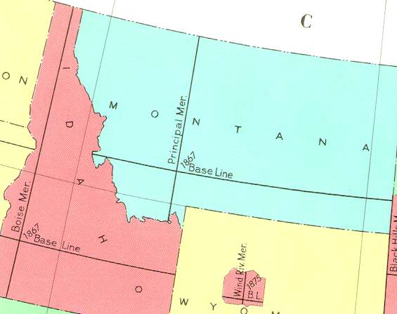
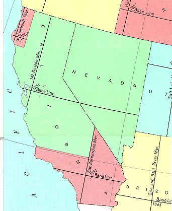
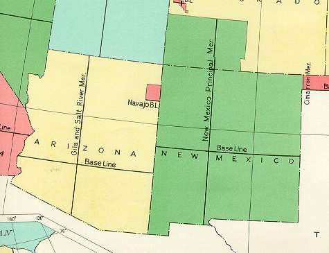
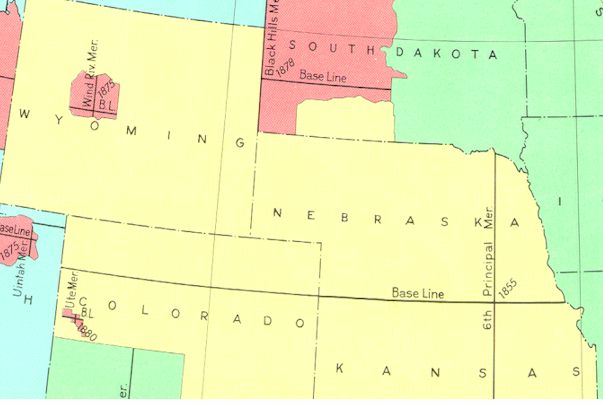
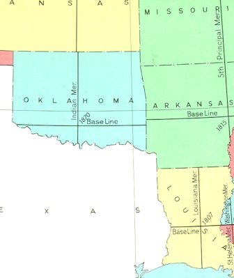
The State and Meridian boxes are 'pull downs' with all of the possible combinations that are available. The State input is active when the 'LL to TRS' function is used. If you are unsure of the State when entering a Latitude and Longitude, then leave the State box blank. The meridian is an important factor in obtaining proper output from the program. Many states have more than one meridian and several states share one meridian. See the meridian maps below which are slices of the BLM 'Principal Meridians and Base Lines Governing The United States Public Land Surveys' map.


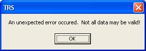
Errors in input will generate messages. If the latitude and longitude point does not fall within the boundaries of the program, then you will get an error message.
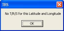
If the township, range, section, state, or meridian inputs cause an error then you will get an error message.
This program only covers the 17 western states that the program libraries from Martin Wefald address. NO expansion of this area is planned.
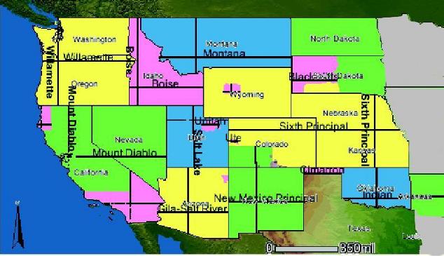
Coverage map for TRS in the 17 states and the meridians.
CAUTION Large File! 1.9Mb.
Version 1.1 is now the download file. The boxes for Township, Range, and Section were increased in size to allow larger numbers and decimal fractions of a division to be seen. Township and Range will now allow 123.75N and 123.75W to be seen. Section will now allow 36.75 to be seen.
Send Email to:
Last updated: 18 November 2011.