Gold Badge Flights
Paul R. Jorgenson, Gold Badge #2437
The Gold Badge in sailplane flying consists of three parts. 1) A five hour flight (taken care of with the Silver Badge). 2) A cross country flight of 300 kilometers (186.4 miles). 3) A climb of at least 3000 meters (9843 feet). All three feats need to be properly declared before flight, documented, and recorded in order to be official.
I had accomplished all of the parts individually (I did the 5 hour -The Long Sit - while a student glider pilot) several times but had not declared or officially documented for the credit. (One 300 Km declared flight in the old wooden glider had a datalogger problem. See "300KM in a Wooden Glider" elsewhere on this website.) Now was the time to finish off the official requirements.
August 30, 2003 was the official attempt for the Gold Badge. The declared distance course was set up and the conditions looked like the task was possible. The forecast top of the lift was below the altitude limit, so the altitude portion would have to be done at another time.
The flight started out fast out to the first turn - there were great thermals and clouds were marking the all. About half way to the second turn the air changed - there was a surge of marine air from Mexico that was spreading up the Gila River valley. The thermals got weaker and then went away. I spent 4000 feet of altitude trying to cross the dead air to get to some more clouds that had thermals. Finally connecting with lift a ways off course, I worked back to a comfortable altitude, then made the turnpoint. Lift was broken again after the turnpoint. I was scratching and searching for any lift, passing near several landout points (just in case...). I finally got suffecient altitude for a final glide to the airport and the celebration was on! The paperwork was finished with my Official Observer and the glider was put in the trailer after a photo.
The weather and my schedule came together for an attempt at the Gold Altitude portion of the Badge a couple of weeks later on September 14, 2003. There were great clouds with high bases in the mountains to the north of the gliderport. I worked a bunch of 2 to 3 knot thermals to make my way up to the north where I connected with 5 to 7 knots of lift. Riding the lift elevator to an altitude gain of 11030 feet from the release point and had a maximum altitude of 13914 above sea level. Lunch was starting to disagree with my digestive system during the climb and I elected to run direct back to the gliderport and the outhouse. I could have continued on for a really long flight and even higher altitudes, but the goal had been reached and it was nice to be back on the ground again. The paperwork was finished and then sent to the SSA for the official acknowledgment of the flight.
On October 10, 2003, the SSA sent me the letter along with my Gold Badge #2437. Only 2436 people in the country had made this accomplishment in all of the years of flying before me. It is a select group!
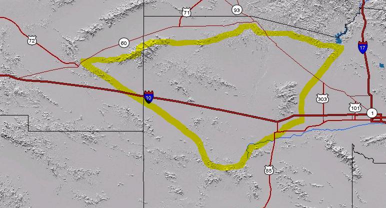
Map with topography, showing the generalized flight path.
Ideal (shortest) task in red, with actual flight path in blue. Black labeled points are turnpoints or airports.
The altitude trace for the distance flight.
The flight path for the 3000 meter climb.
The altitude trace for the altitude flight. Lots of struggle, then the one good thermal.
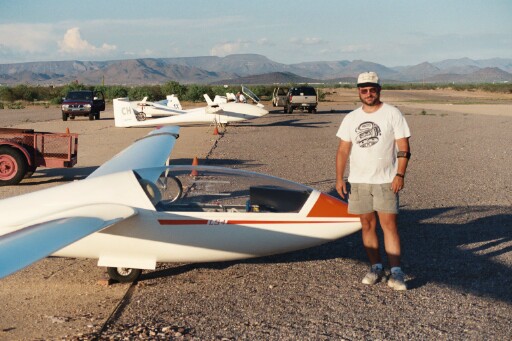
Happy pilot after a long flight!
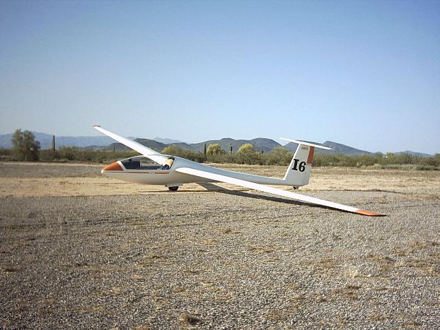
The LS-4a sailplane. (Different day, but a nice photo.)
Return to Paul's Glider Home Page
Created 15 September 2005.
Updated 18 November 2011.
(C) Copyright 2005-2011 by Paul R. Jorgenson